Mappings of the accessibility of the outdoor environment
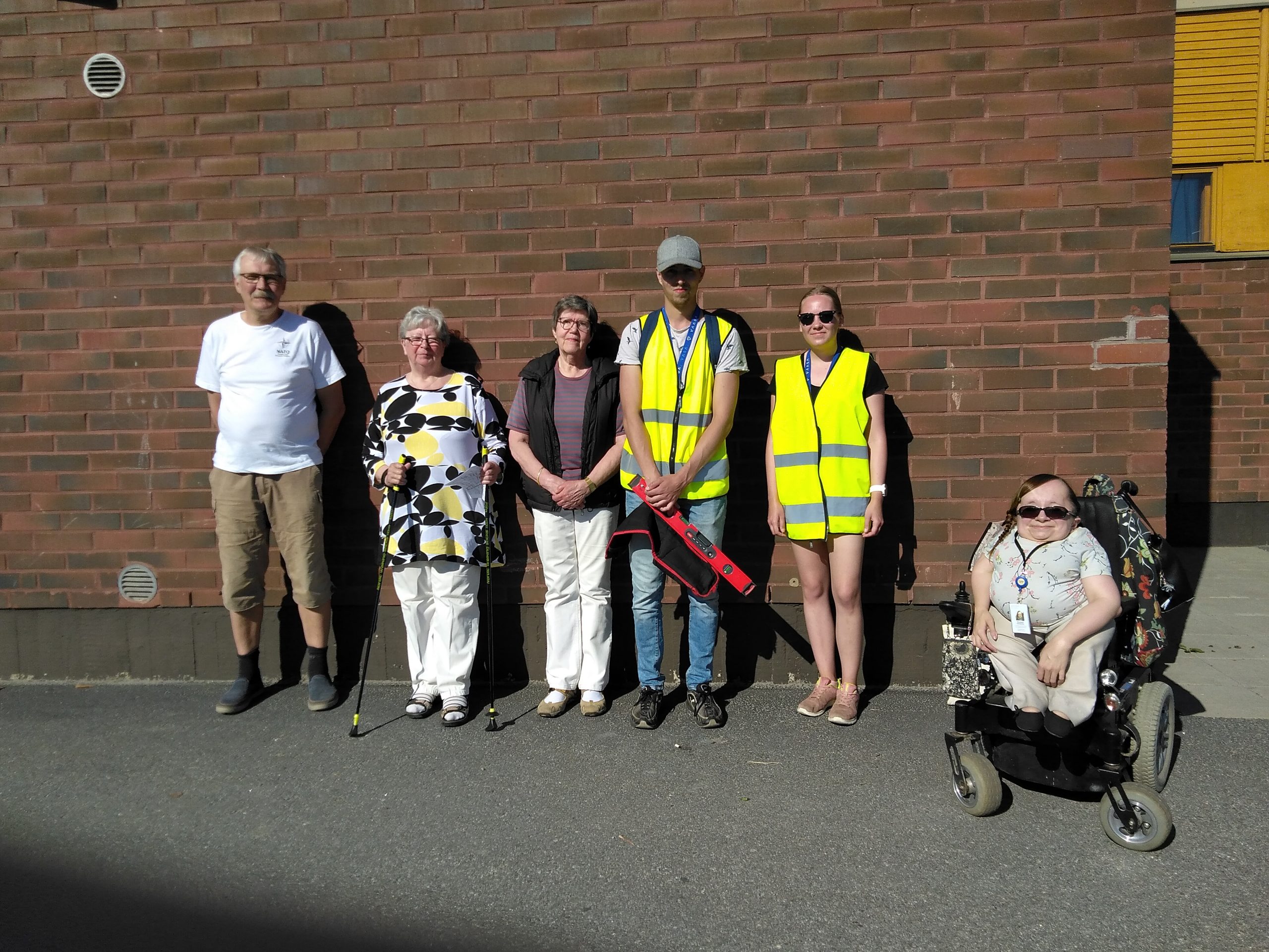

During both the summer of 2020 and 2021 extensive mappings of the accessibility of the outdoor environment were conducted on a large area in different parts of the city.
The focus of the mappings was specifically on streets and crosswalks, pedestrian and bicycle lanes, as well as entrances of crucial public buildings. The mapping of the spots was done by foot using a smartphone based GIS-application with access to a map database. The planning of the mapped routes and areas was considerably steered by the age of the population living in different parts of the city. This means that the areas with more older residents were prioritized since the necessity of accessibility can be expected to be especially crucial in these areas.
The findings of the mappings have provided a valuable ground for the planning of accessibility improvements, and they will continue to do so in the future as well. The findings are, and will be, put on the city webpages for open access.
Main target group: Older people in general
Sector(s): Health
Desired outcome for older people:
Be mobile